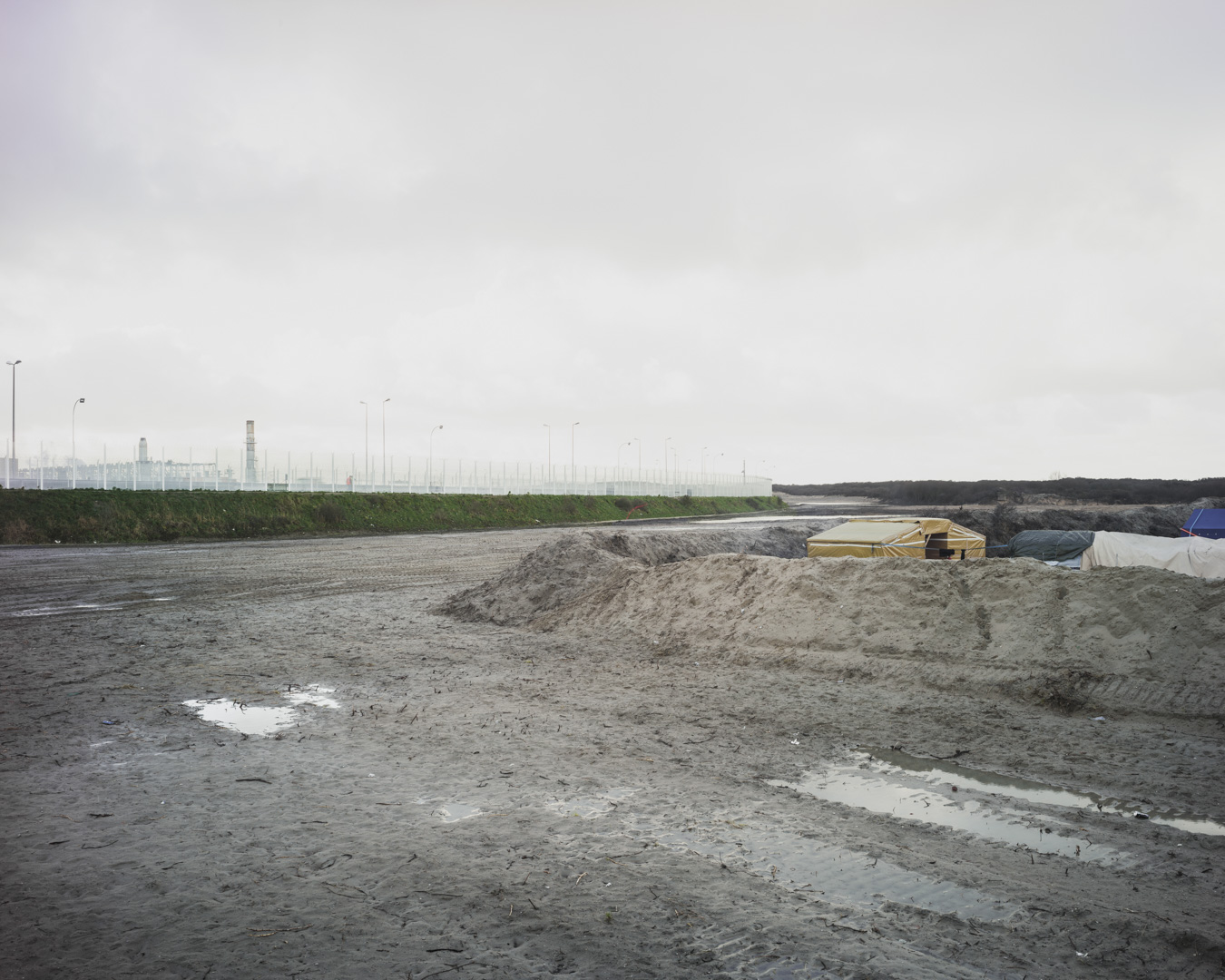
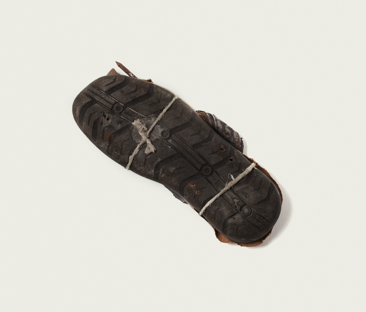
Tabula Rogeriana, 2016
This photographic series finds its genesis in the book of Pedrag Matveievich, “La Méditerrannée”, and the tabular work of the scientist and cartographer, Muhammad Al-Idrisi; the “Tabula Rogeriana”. This map dating from the 12th century, has become one of the most important sources of information on the political, cultural, physical and social conditions of the Mediterranean territories studied. It is also an historical example of the collaboration between a Christian and a Muslim, who worked together on a project aimed at tolerance and assimilation. It is therefore not surprising to see how this map has redrawn contemporary geographical norms: the North at the bottom, the South at the top, and the Arab Peninsula, with the holy place of Mecca, at the center.
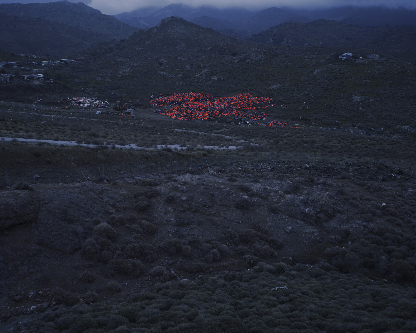
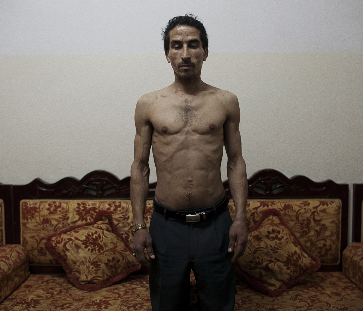
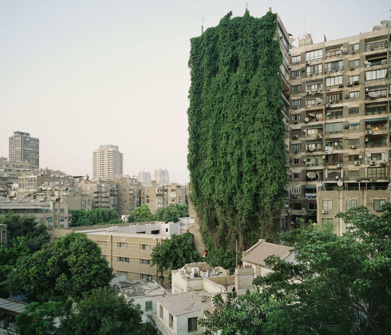
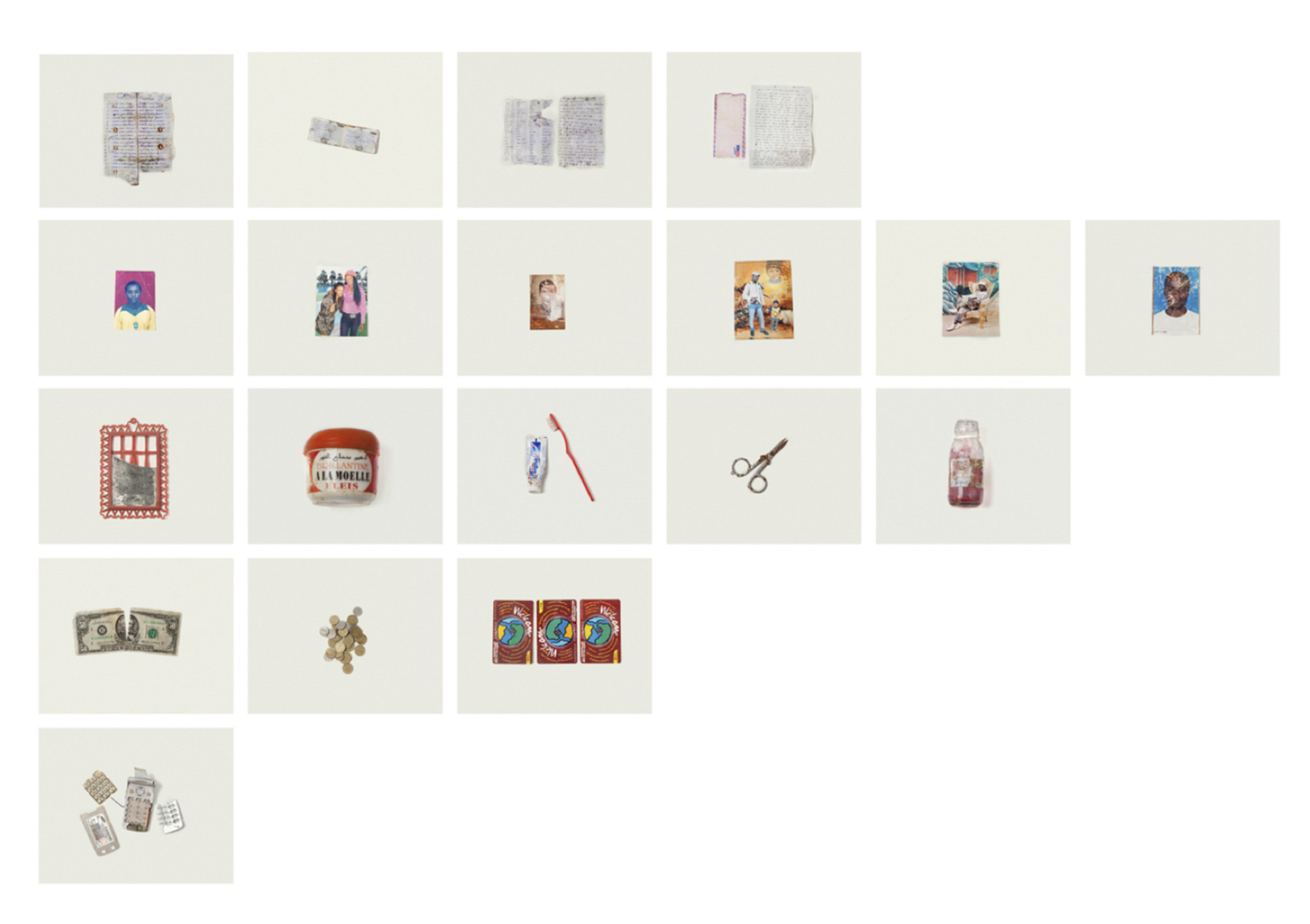
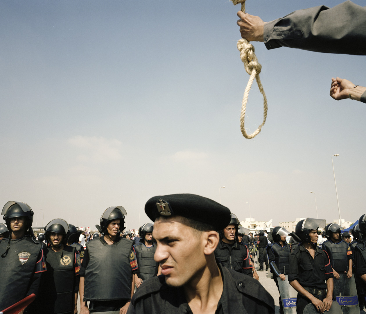
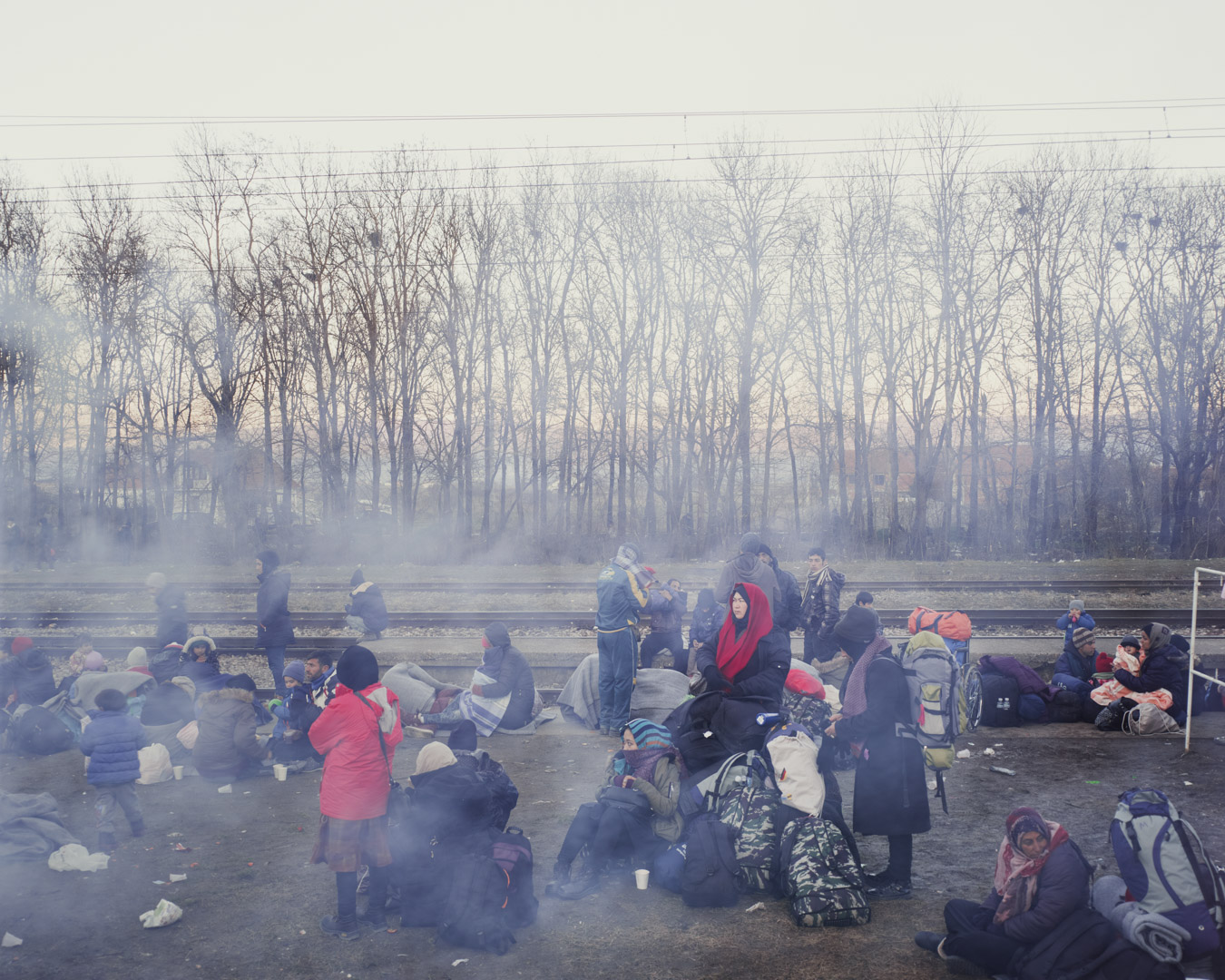
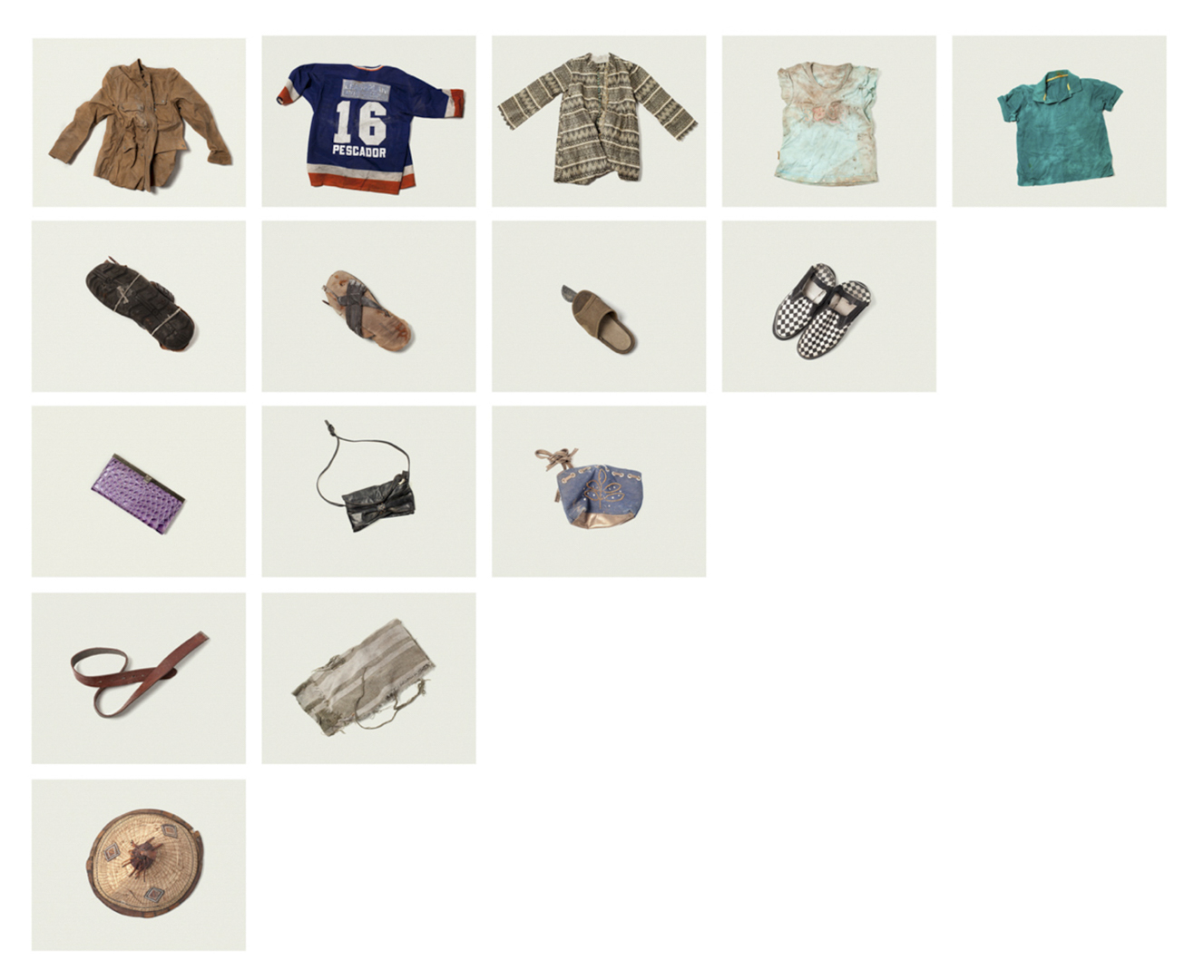
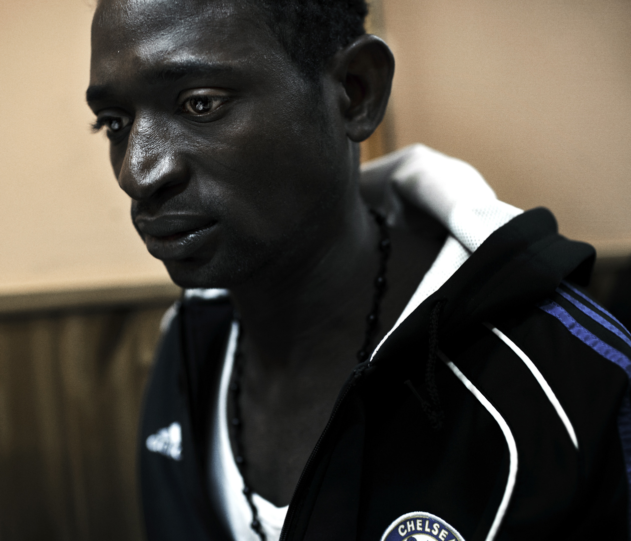
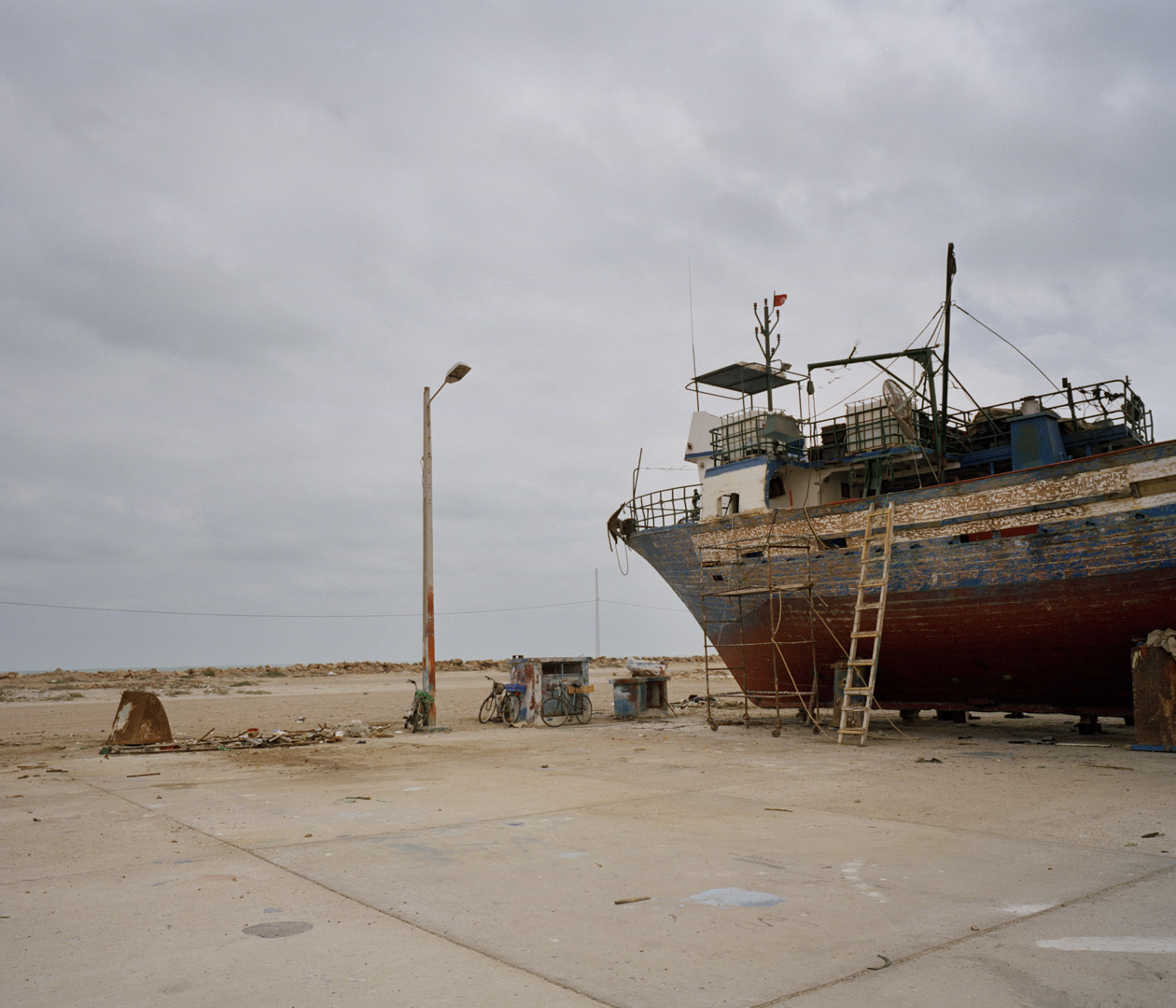
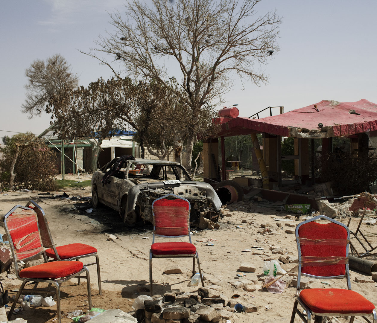
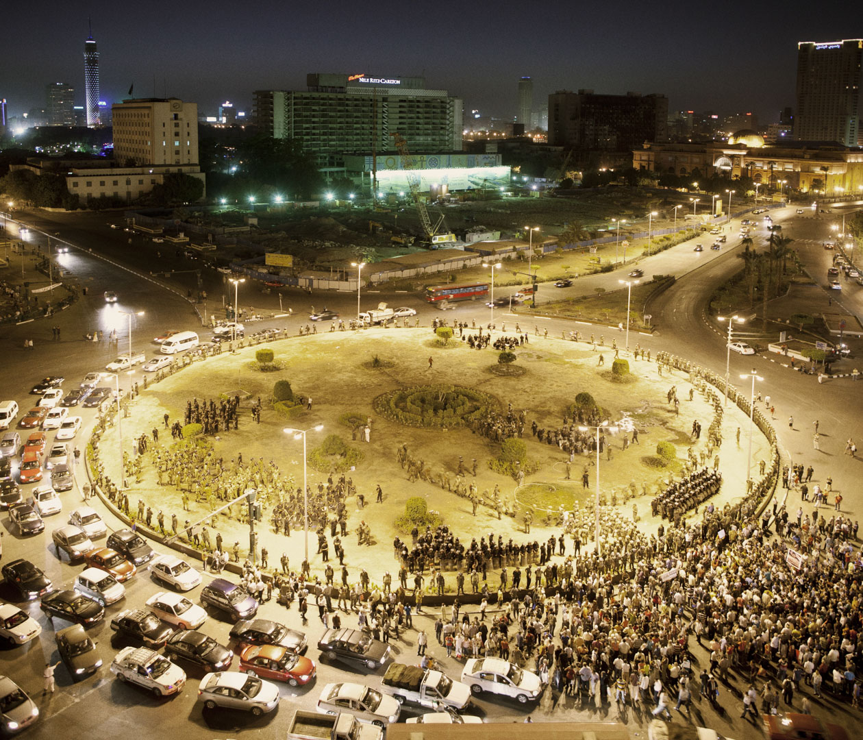
Based on this medieval documentation, Davide Monteleone reconsiders the work he completed two years earlier on the Arab Spring, the conflicts in the Middle East and Syria, the news waves of migration in the Mediterranean, such as Lampedusa, and the economic crisis in Europe, which have become constant sources of mistrust and confrontation in the contemporary Mediterranean region.
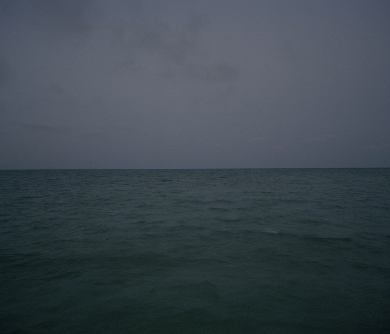
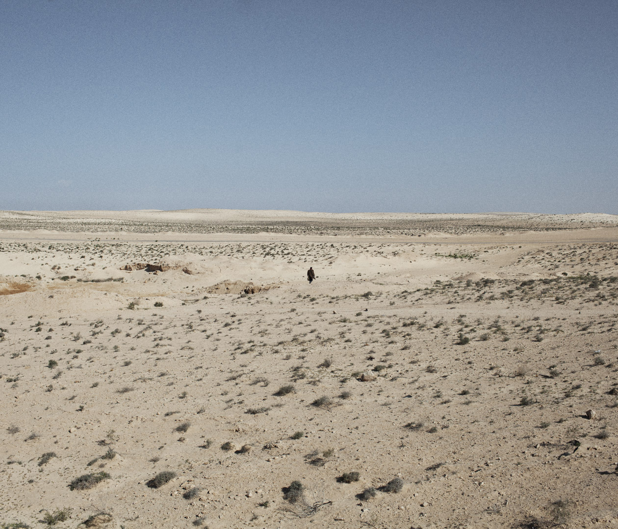
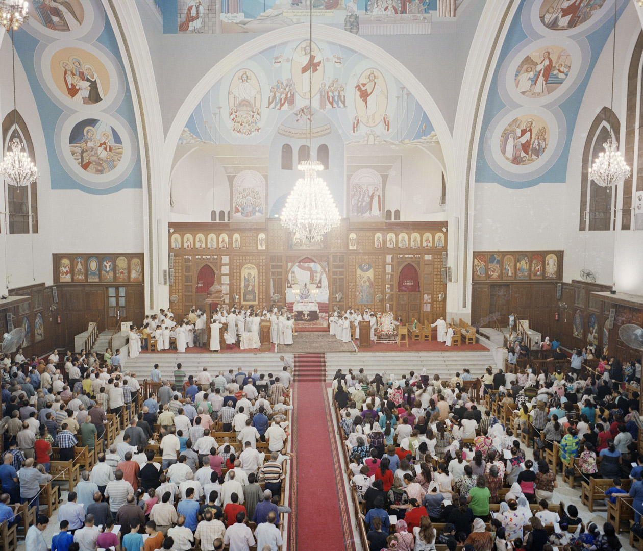
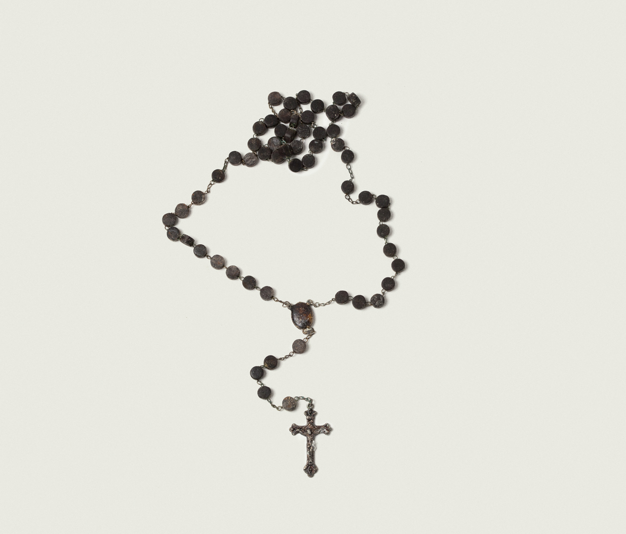
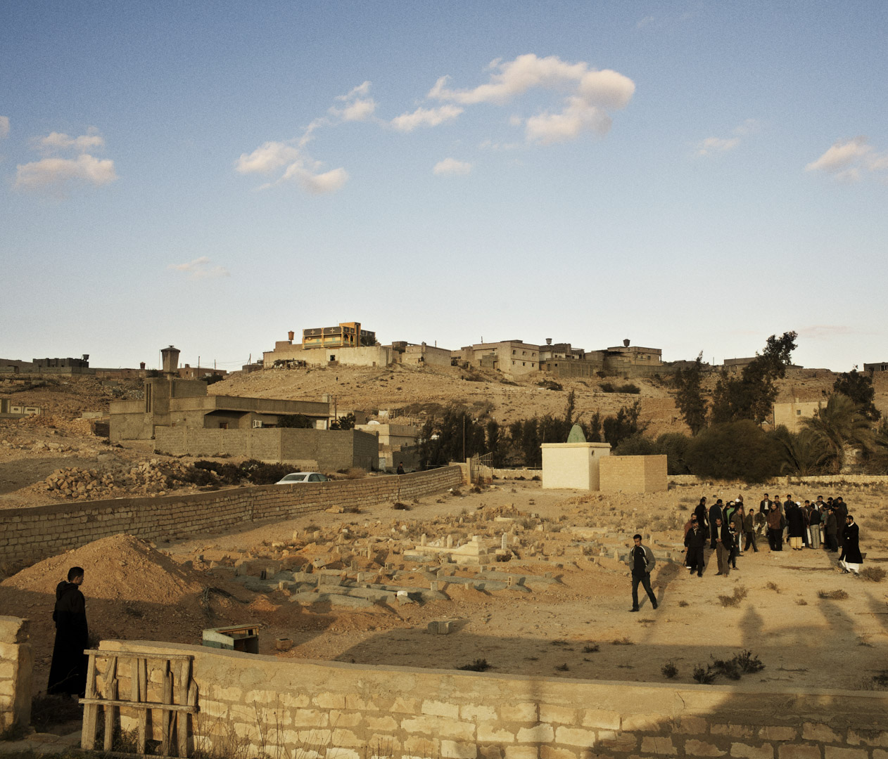
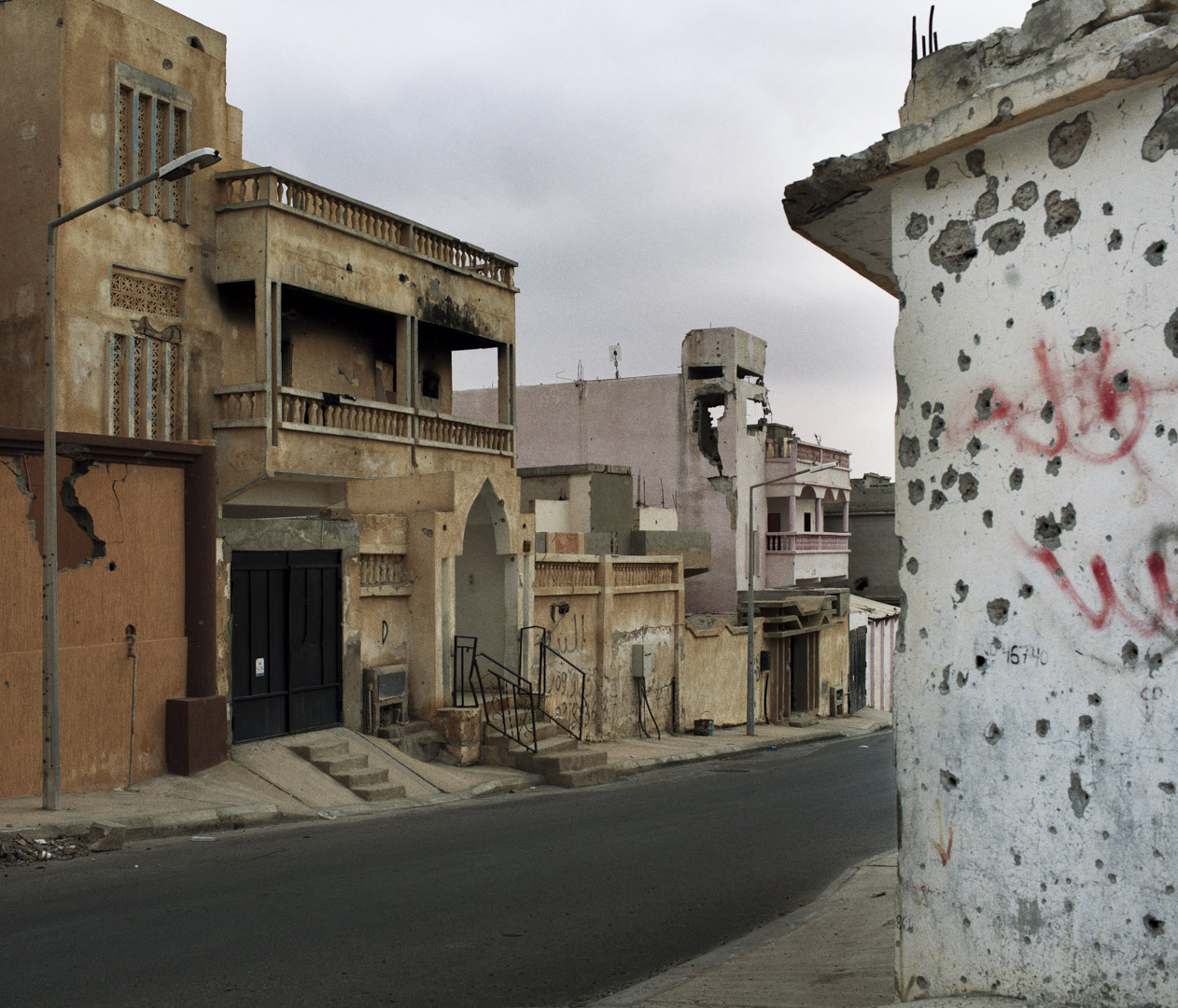
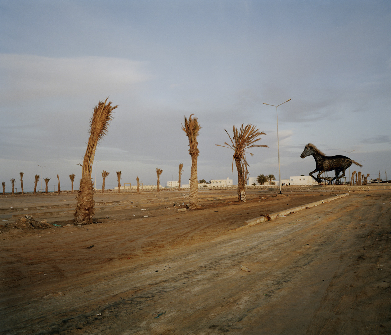
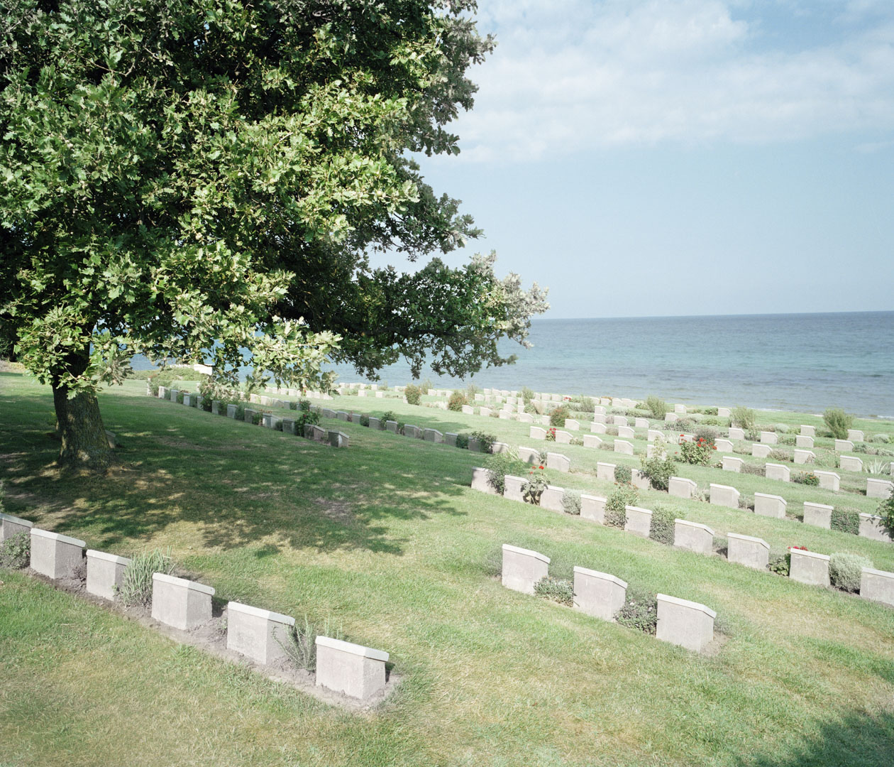
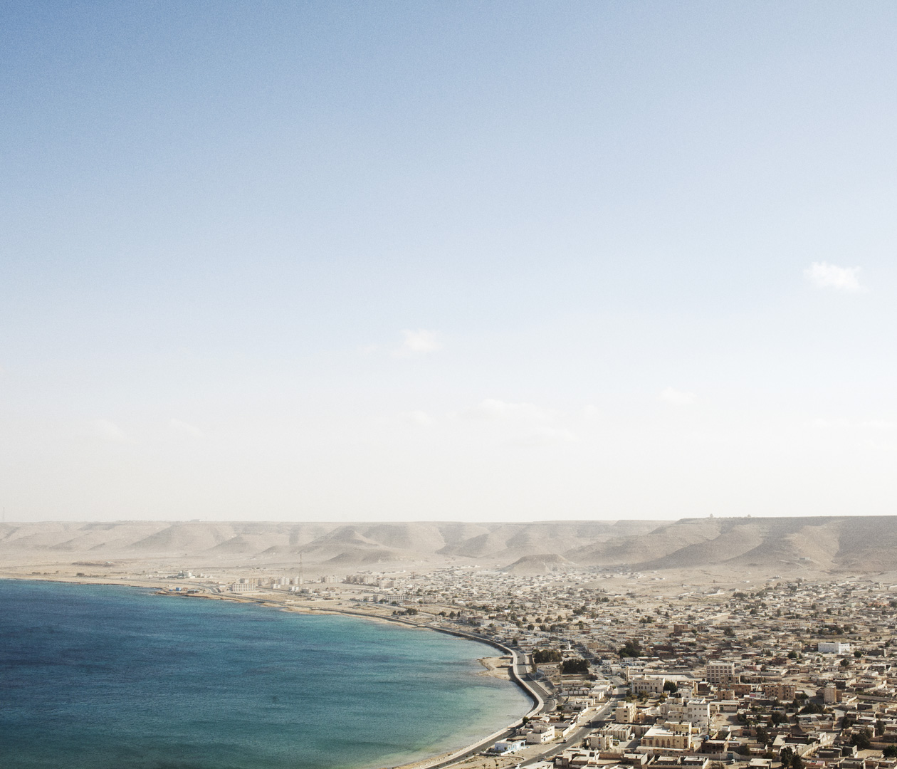
Through of a visual atlas of the current situation on the southern coast of the Mediterranean, from Gibraltar to the Dardanelles, Davide Monteleone wanted to rise the major issues affecting the region.
What are the relations between Europe and North Africa? Will the Mediterranean regain its historical importance and once again become a major “meeting place”? With “Tabula Rogeriana”, Davide Monteleone carries out a journalistic work while revealing the essence of Al-Idrissi’s tabular work, and offers a new look at the contemporary Mediterranean in the grip of numerous upheavals.
